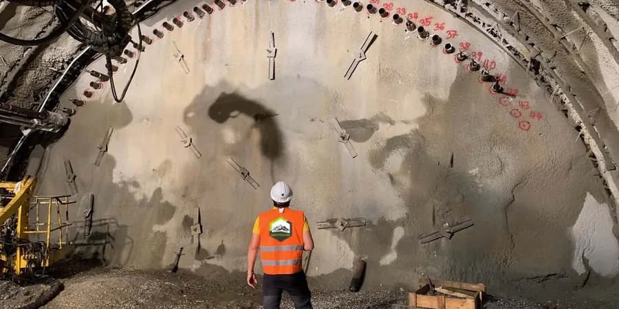
In Chicago, the moment you dig below the historic fill of the Loop or cut into the soft glacial clays near the lake, you are in a completely different world of lateral stresses. Every deep excavation downtown contends with the stiff Chicago clay, but also with the unpredictable behavior of saturated sand lenses that can destabilize shoring if not monitored continuously. We design geotechnical excavation monitoring plans that track wall deflection, groundwater drawdown, and adjacent building settlement in real time, because a 12-story masonry landmark from the 1920s does not forgive even a quarter-inch of movement. When the excavation passes below the water table at roughly 6 to 10 feet, the combination of deep excavations experience and precise instrumentation defines whether the project stays on schedule or gets shut down by a stop-work order. Our team integrates robotic total stations, in-place inclinometers, and vibrating wire piezometers into a single dashboard that the superintendent and the structural engineer can access from the trailer or from a phone, giving them the confidence to proceed with the next lift of bracing without waiting for a manual reading cycle.
In Chicago\'s glacial clay, the movement that matters happens slowly over weeks—continuous inclinometer data catches the trend before the crack appears.
Local considerations
The humid summer air off Lake Michigan accelerates corrosion on exposed instrumentation, while the freeze-thaw cycles of January and February can heave shallow monuments and throw off reference coordinates. Chicago’s variable lake levels and the underground network of freight tunnels and old basements add a layer of uncertainty that textbook assumptions about homogeneous soil profiles ignore. A monitoring plan that works in Dallas will fail here if it does not account for the time-dependent pore pressure dissipation in the Blodgett and Deerfield formations. We have seen projects where a week of rain raised the perched water table enough to soften the passive wedge in front of the sheet piles, increasing lateral deflections by 40% before anyone noticed. That is why our instrumentation layout always includes multiple piezometer strings at different depths and standpipe wells behind the wall, cross-referenced with the nearest USGS monitoring well to distinguish regional from construction-induced changes. The public way protection requirements from CDOT demand documentation that holds up in court, so every data point is time-stamped, QA/QC-checked, and archived in a format that the third-party reviewer can audit without weeks of back-and-forth.
Frequently asked questions
What is the typical cost range for geotechnical excavation monitoring on a downtown Chicago high-rise project?
For a standard 20-foot-deep excavation in the Loop with inclinometers, piezometers, load cells, and automated total station coverage of four adjacent buildings, the monitoring scope typically falls between US$900 and US$2.590 per week of active excavation, depending on the number of instrument strings and the reporting frequency required by the geotechnical engineer of record.
How do you set movement thresholds for a shoring system in Chicago clay?
Thresholds are derived from the project-specific finite element or beam-on-elastic-foundation analysis of the shoring wall, not from generic tables. We set the green level at 50% of the allowable design deflection, the yellow alert at 70%, and the red stop-work trigger at 90%, with an additional rate-of-movement criterion of 0.05 inches per day that catches creep behavior before total displacement becomes critical. These values are reviewed and signed off by the project\'s structural engineer before excavation begins.
Can you monitor multiple excavation phases with the same instrumentation setup?
Yes. Inclinometer casings are typically installed from the working grade before any soil is removed, so they capture the full deflection profile through each bracing level. As the excavation deepens and struts or tiebacks are installed, load cells and strain gauges are added to each new level, and the total station control network is densified to cover additional building faces. The same datalogger network and dashboard platform integrate all phases, and the baseline readings are re-zeroed at each major construction stage to isolate incremental movements.